Enterprise-Grade Aerial & Geospatial Services
From critical infrastructure inspections to high-precision topographical mapping, we deliver engineering-grade data tailored to your industry's most demanding requirements.
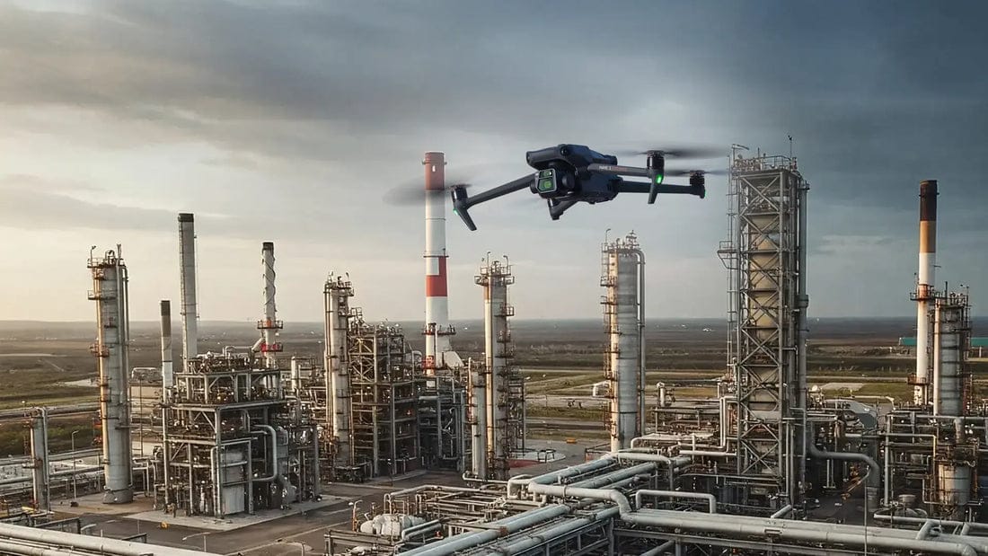
Industrial Inspections
See what others miss. Inspect the impossible without shutting down operations.
From towering transmission lines to hidden pipeline defects, our drones capture millimeter-level detail in places humans can't safely reach. We identify thermal hotspots, structural fatigue, and corrosion before they become catastrophic failures — all while your operations continue uninterrupted.
Discover How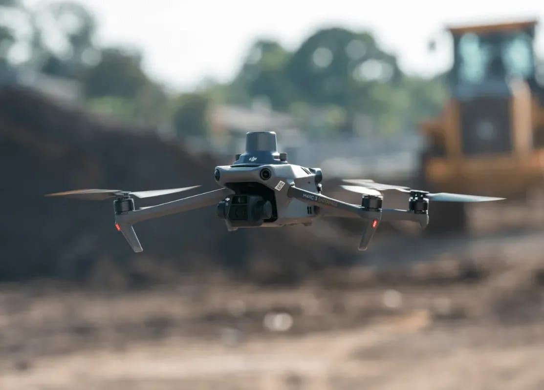
Drone Mapping & Surveying
Turn landscapes into data. Survey-grade accuracy in hours, not weeks.
Why wait weeks for ground crews when we can map hundreds of hectares in a single morning? Our RTK-enabled drones deliver orthomosaics, DEMs, and volumetric reports with 5cm accuracy — the kind of precision that eliminates contractor disputes and accelerates project timelines by months.
Explore Mapping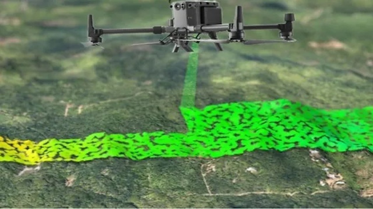
LiDAR Surveying
See through vegetation. Capture what cameras can't.
When dense canopy hides the ground beneath, optical cameras fail. Our airborne LiDAR fires 500,000 laser pulses per second, penetrating foliage to reveal the true terrain below. It's the only technology that delivers bare-earth accuracy in forests, jungles, and overgrown corridors — critical for power line routing, flood modeling, and road design.
See LiDAR Power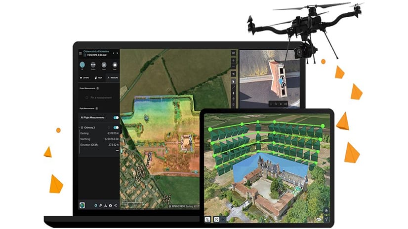
3D Modeling
Build digital twins. Visualize reality with millimeter precision.
Imagine walking through a perfect replica of your facility before a single brick is laid. We transform raw aerial data into photorealistic 3D models and digital twins that integrate directly with your BIM workflows — enabling clash detection, volumetric analysis, and stakeholder presentations that win approvals faster.
View 3D Models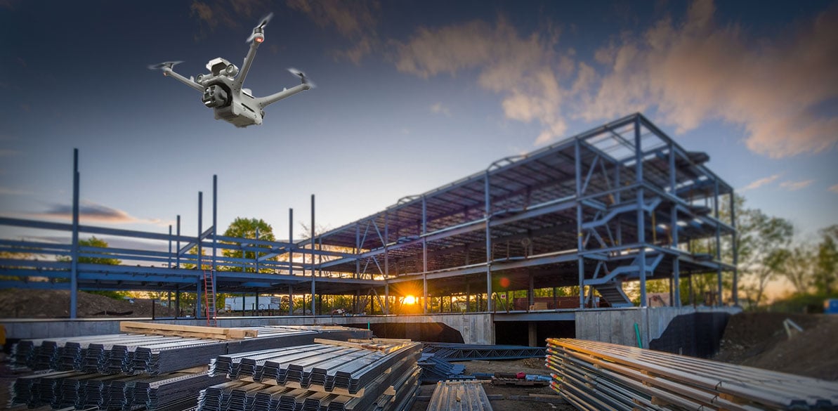
Aerial Surveillance
Eyes in the sky. Real-time intelligence when it matters most.
One drone replaces twenty ground patrols. With live HD streaming, thermal night vision, and AI-powered anomaly detection, we give your security team persistent situational awareness over entire facilities, event venues, or critical infrastructure — day or night, rain or shine.
Learn Surveillance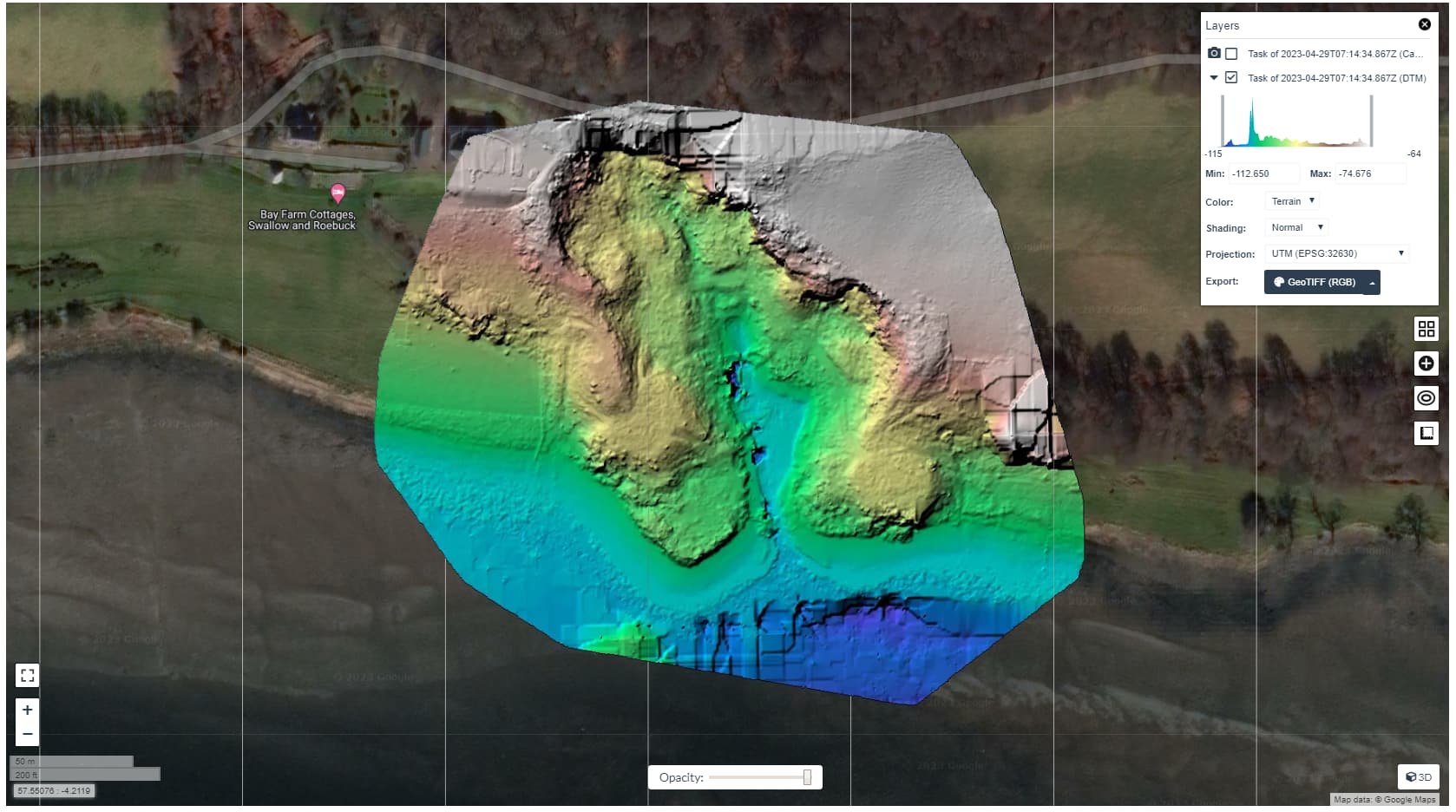
Data Analytics
Raw data to decisions. Actionable insights, not just pretty pictures.
A million data points mean nothing without interpretation. We transform raw geospatial captures into executive-ready dashboards, predictive maintenance reports, and compliance documentation — turning your aerial investment into boardroom-ready intelligence that drives real business outcomes.
See Analytics