3D Modeling & Digital Twins
Build digital twins. Visualize reality with millimeter precision. Transform aerial data into immersive, measurable 3D models that drive better decisions.
Build digital twins. Visualize reality with millimeter precision. Transform aerial data into immersive, measurable 3D models that drive better decisions.
From reality to digital — precision you can measure, visualize, and trust
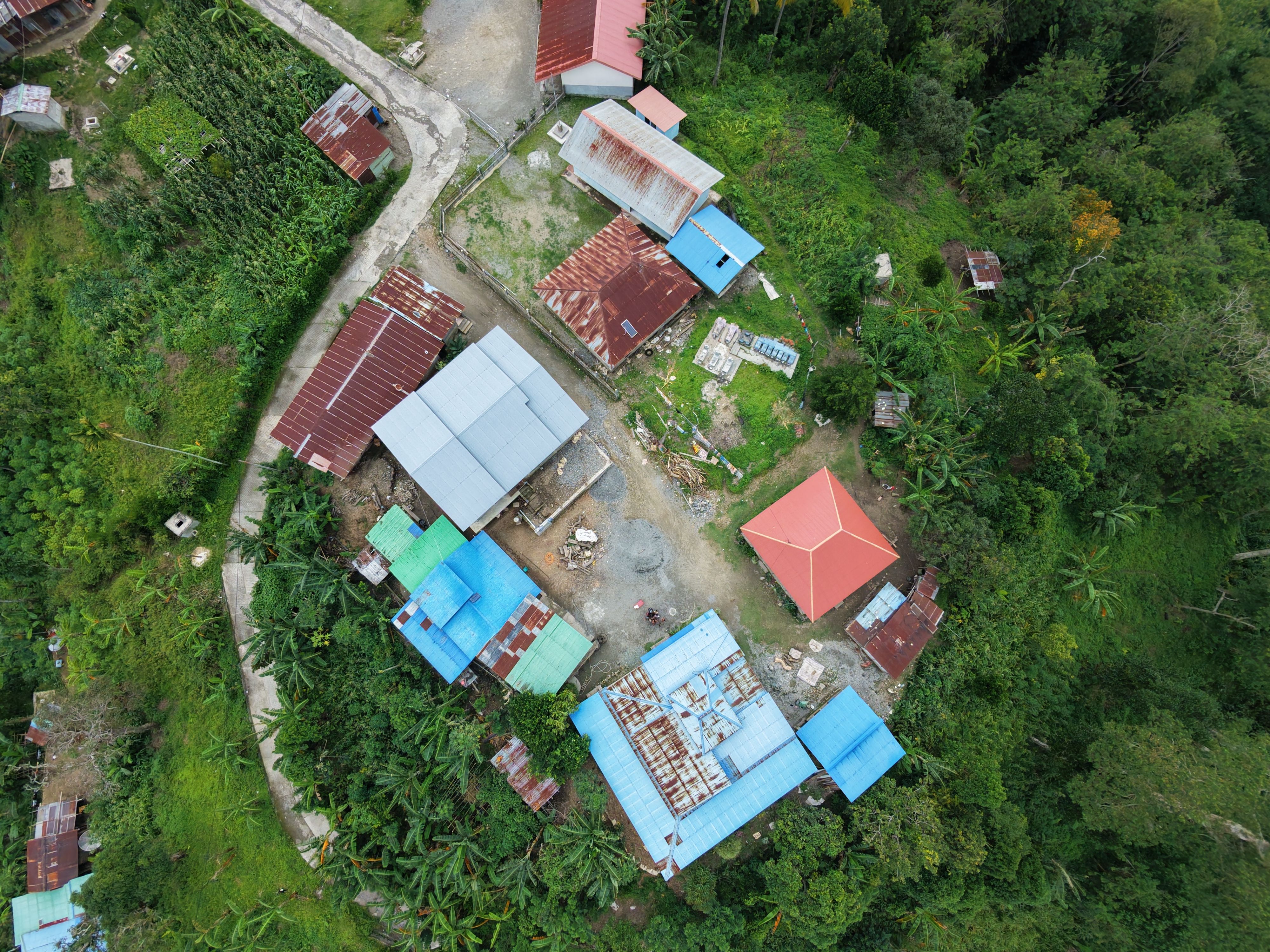
Static drawings and 2D maps only tell part of the story. In today's complex world, you need immersive, measurable 3D models that capture every detail — from urban settlements to luxury estates, from infrastructure to entire cities.
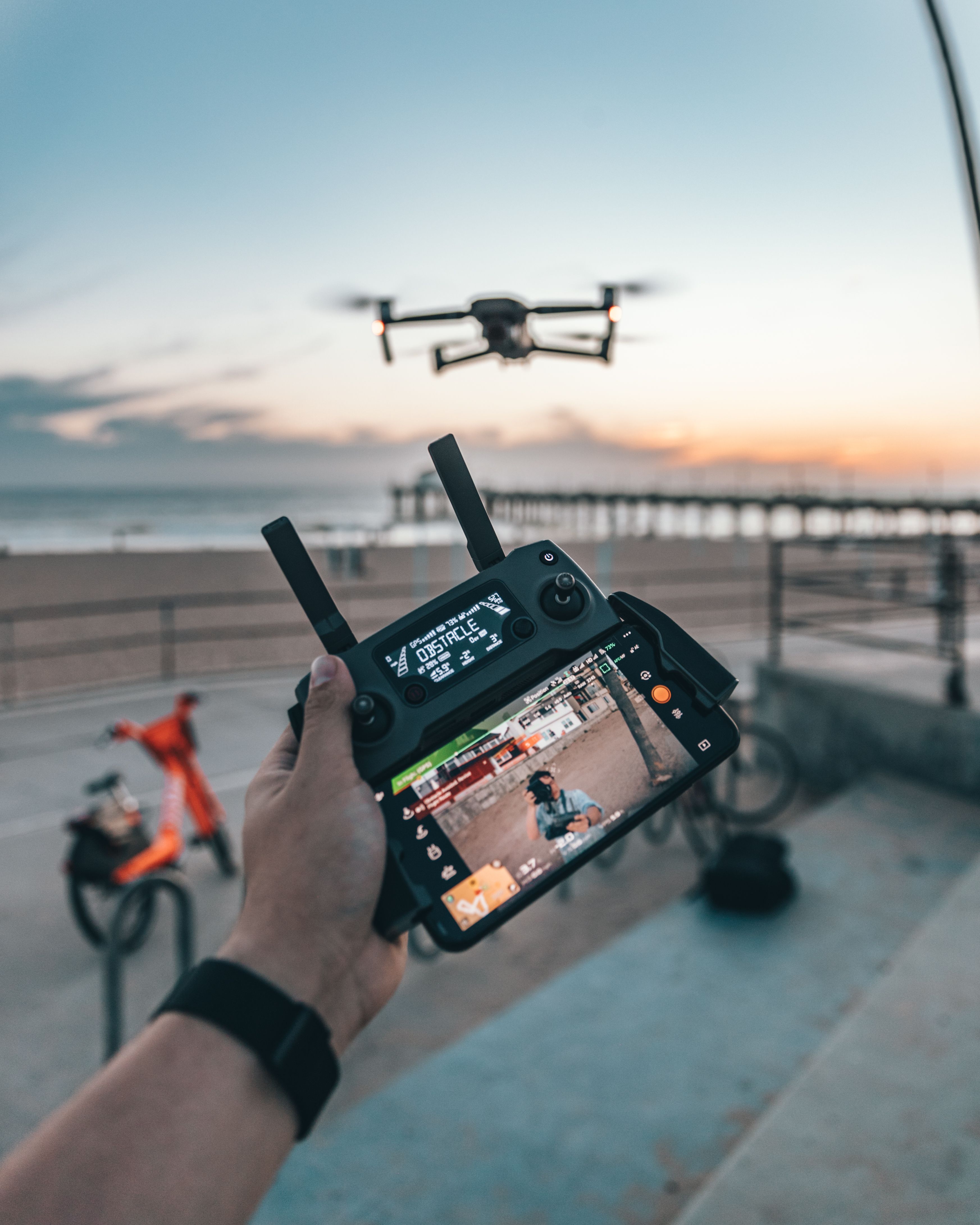
Velodrones transforms aerial imagery into intelligent 3D reality meshes and digital twins. Using advanced photogrammetry and drone-based capture, we create millimeter-accurate models that integrate seamlessly with your BIM, CAD, and GIS workflows — enabling clash detection, volumetric analysis, stakeholder presentations, and long-term asset monitoring.
High-res image processing
Dense 3D data capture
Immersive visualization
Revit/CAD compatible
Complete city-scale digital twins capturing buildings, infrastructure, and terrain for smart city planning, zoning, and development.
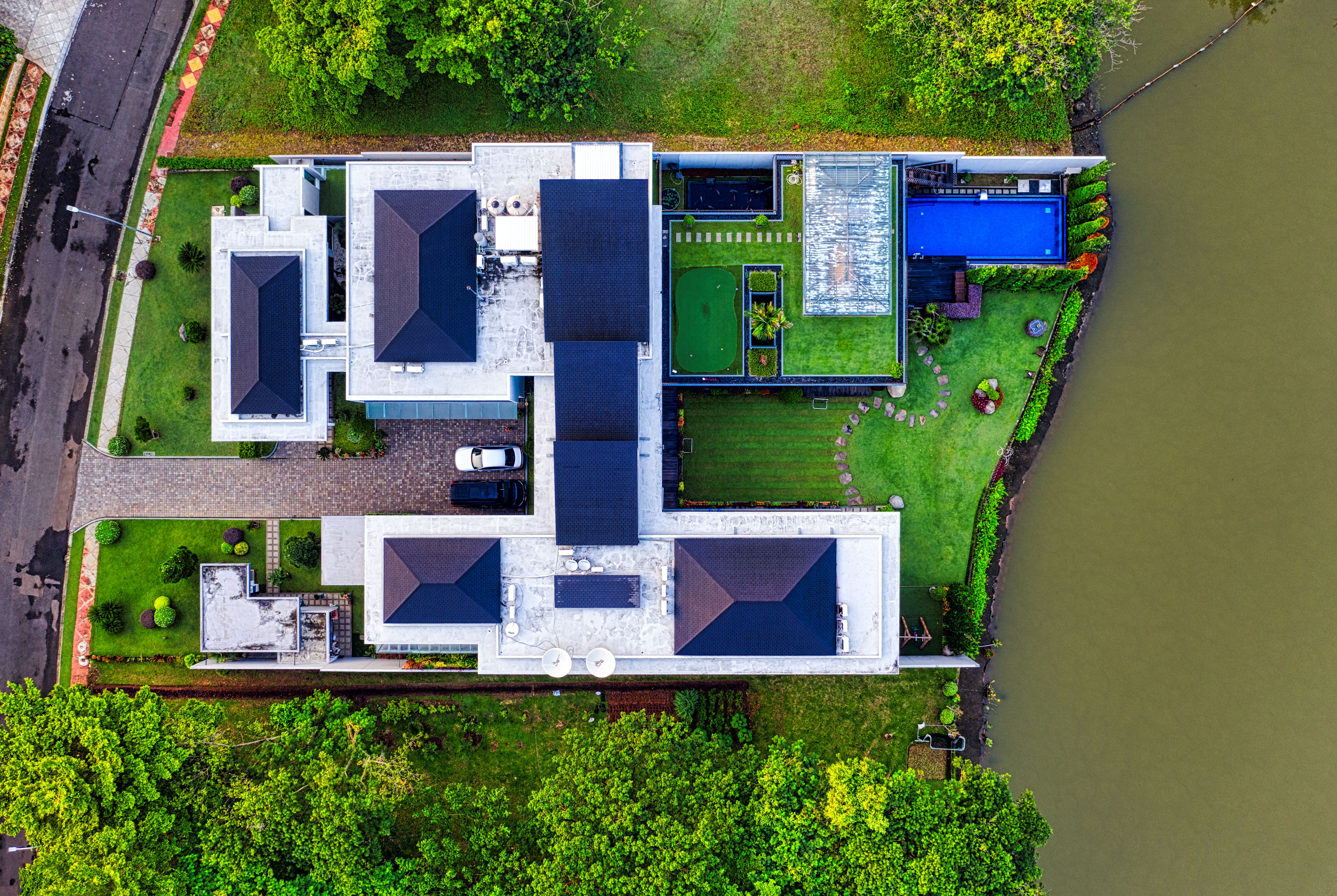
Photorealistic 3D models of residential and commercial properties for marketing, valuation, and facility management.
As-built vs. as-planned comparisons, progress tracking, and 4D construction sequencing with time-based models.
Detailed documentation of historical structures and cultural sites for preservation and restoration planning.
Complete plant and facility digital twins for maintenance planning, safety analysis, and operator training.
3D terrain and vegetation models for environmental impact assessments, mining, and land management.
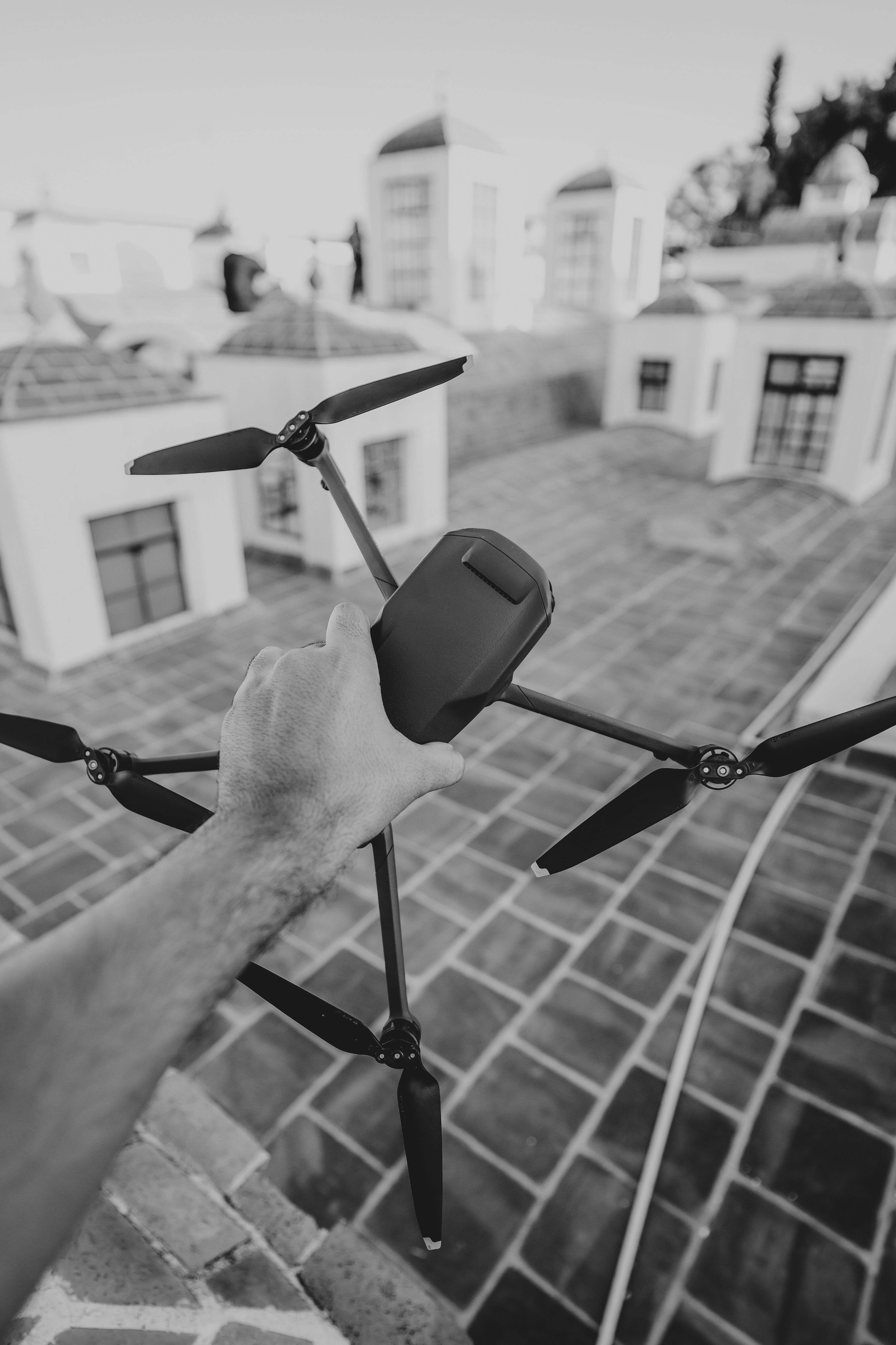
A 3D model is worth a thousand 2D drawings. Our digital twins provide complete spatial context — allowing you to measure distances, calculate volumes, analyze sight lines, detect clashes, and simulate scenarios before committing to costly physical changes.
From design to construction to operations, 3D models become your single source of truth — improving communication, reducing errors, accelerating approvals, and extending the life of your assets through better-informed decisions.
Transform your physical assets into intelligent 3D models. See everything. Measure anything. Make better decisions.
Start Your 3D Project View 3D Models