Drone Mapping & Surveying
Turn landscapes into data. Survey-grade accuracy in hours, not weeks. We replace slow ground surveys with rapid aerial data capture that meets engineering standards.
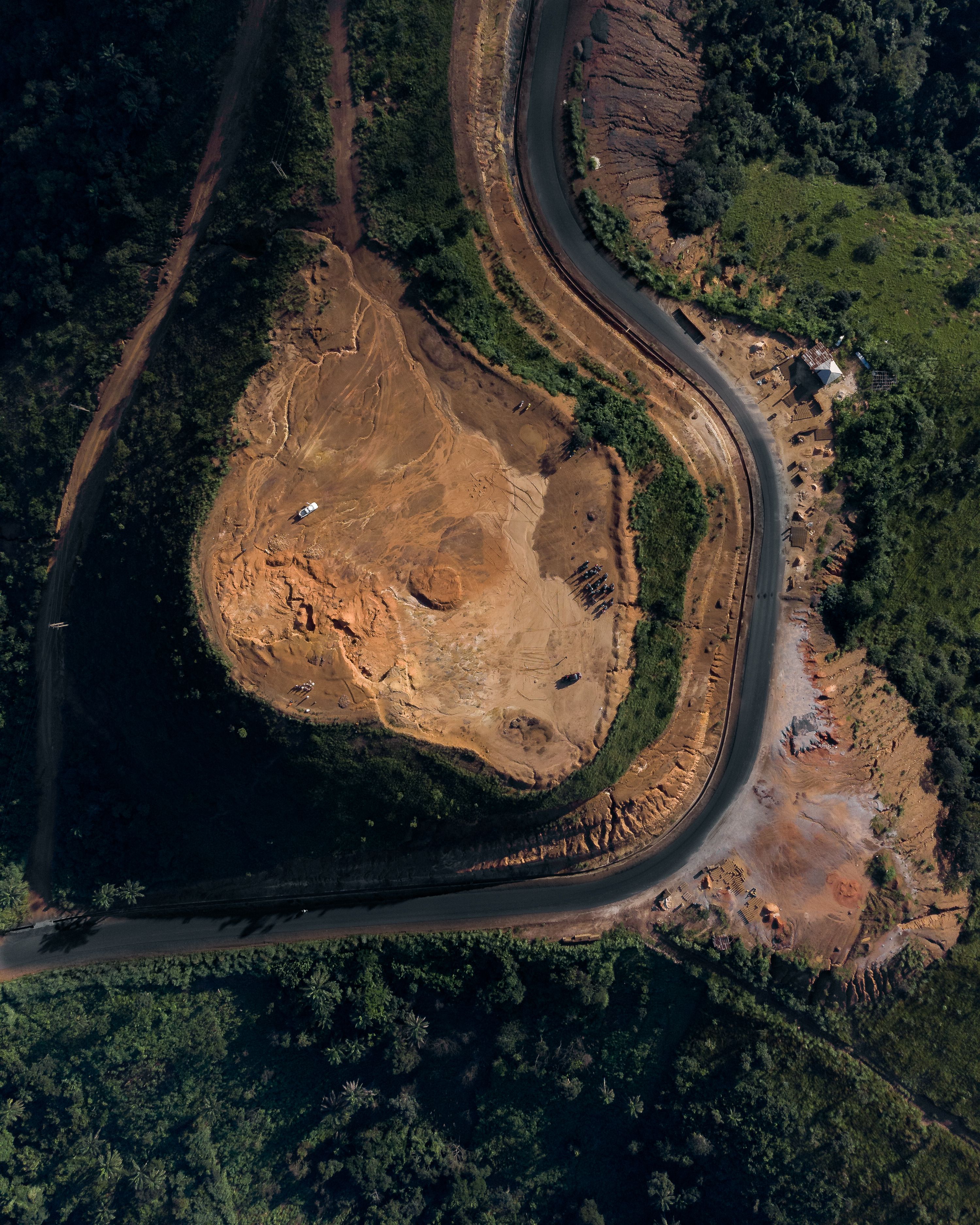
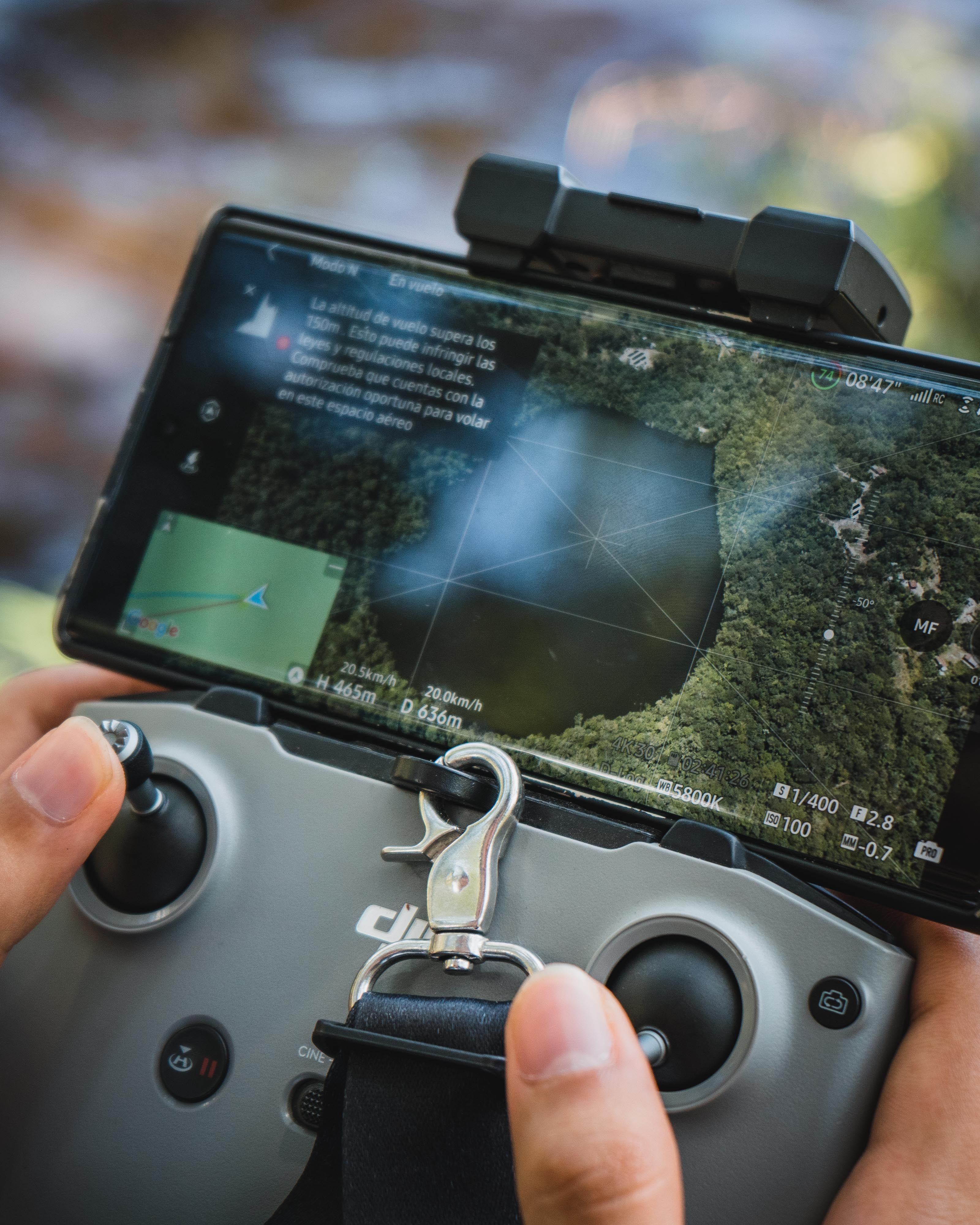
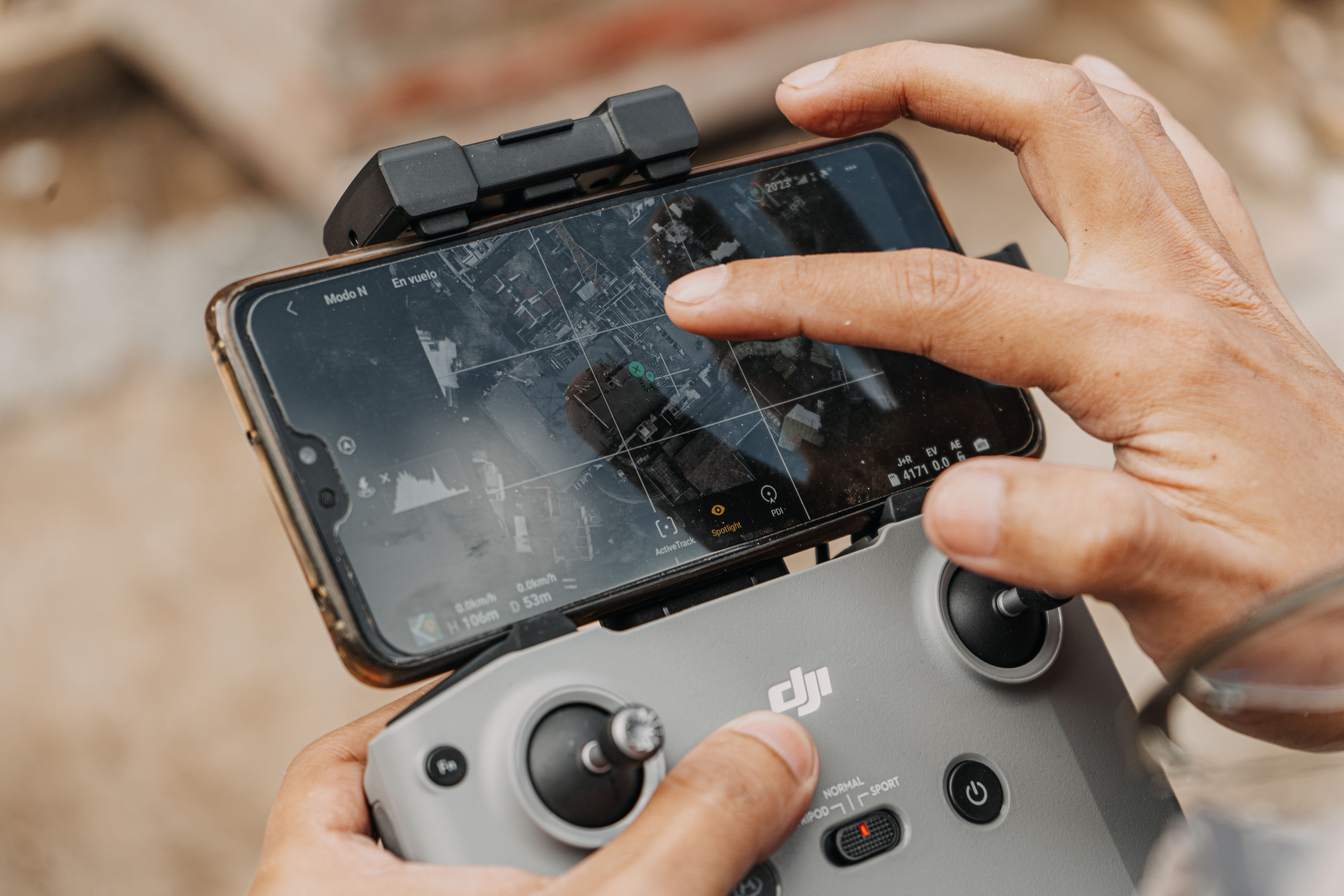
Turn landscapes into data. Survey-grade accuracy in hours, not weeks. We replace slow ground surveys with rapid aerial data capture that meets engineering standards.
Faster, more accurate, more cost-effective than traditional surveying
Traditional land surveying is slow, expensive, and often misses critical details in inaccessible terrain. While your competitors wait weeks for ground crews to trudge through the bush, our RTK-enabled drones capture millions of georeferenced data points in a single morning — with accuracy that meets the strictest engineering standards.
Whether you need a baseline for a new development, progress tracking for a mega-project, or volumetrics for a quarry, we deliver engineering-ready orthomosaics, DEMs, DTMs, and 3D point clouds faster and more cost-effectively than any ground-based alternative.
Centimeter-level positioning accuracy
Ultra-high resolution imagery
Advanced 3D reconstruction
Seamless CAD/BIM workflows
Georeferenced, distortion-free aerial imagery stitched into seamless, high-resolution maps perfect for planning, design, and documentation.
Accurate representation of bare-earth terrain, essential for flood modeling, drainage analysis, and earthwork calculations.
Dense, measurable 3D representations of sites and structures, compatible with CAD and BIM software for detailed analysis.
Precise calculation of stockpile volumes, cut-and-fill quantities, and earthwork balances for construction and mining projects.
Recurring mapping flights to track construction progress, validate contractor claims, and maintain accurate as-built records.
Efficiently map hundreds of hectares in hours, covering vast distances that would take ground crews weeks to survey.
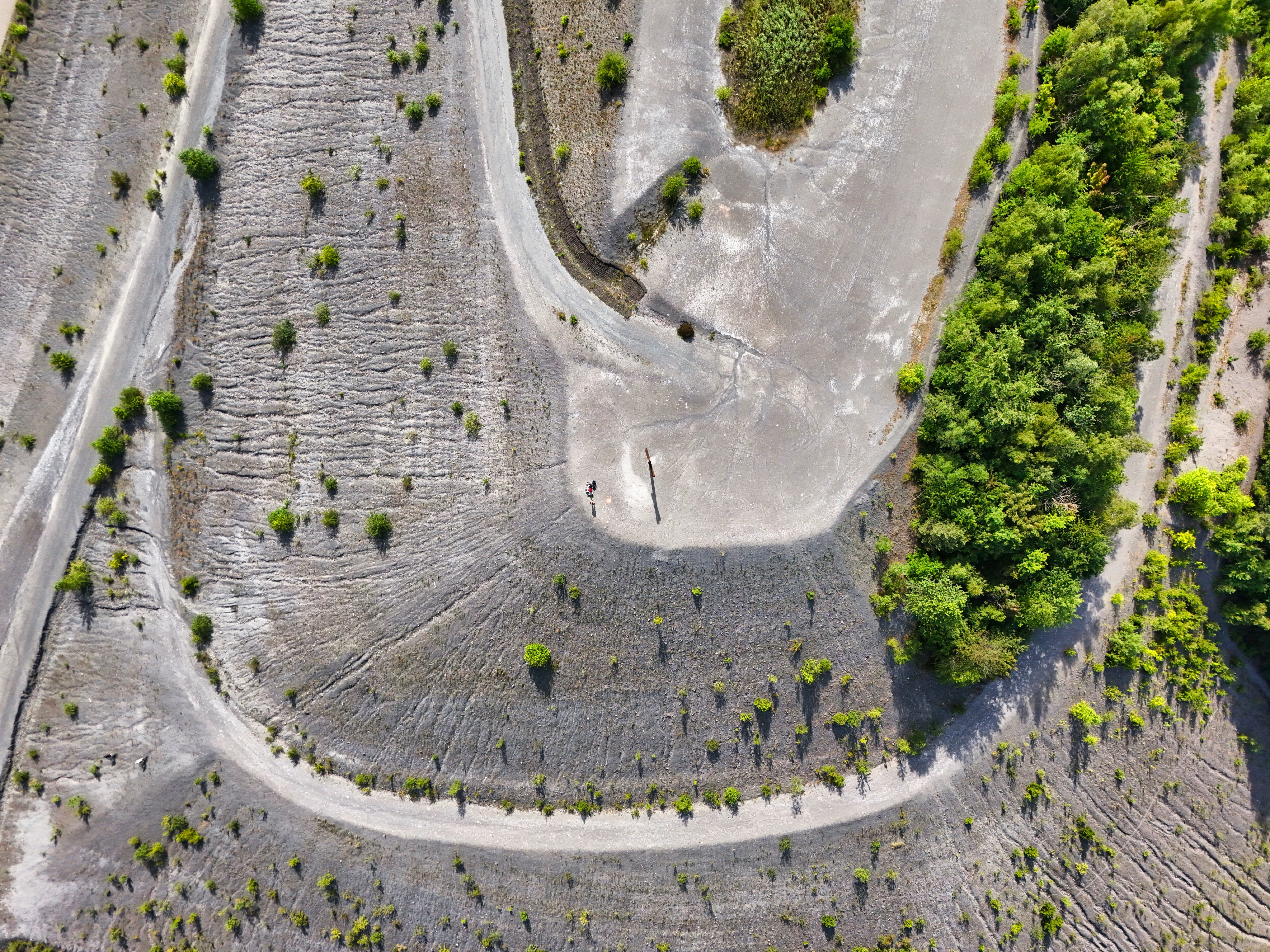
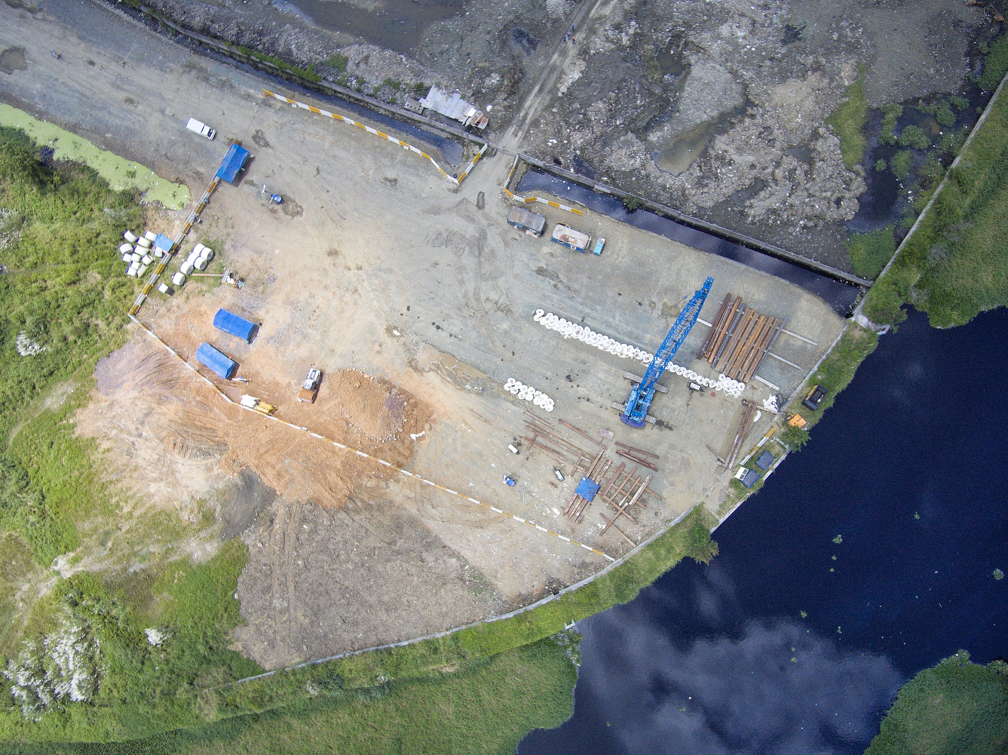
Our drone mapping services reduce survey time by up to 90% compared to traditional methods while improving data density and accuracy. A project that would take a ground crew three weeks? We complete it in two days — with more detail and better accuracy.
The result? Faster project approvals, fewer change orders, accurate contractor payments, and complete confidence in your site data. Every mapping project pays for itself in avoided delays and eliminated disputes.
Get survey-grade mapping delivered in days, not weeks. Stop waiting for ground surveys — start making decisions with confidence.
Request a Quote View Mapping Projects