LiDAR Surveying
See through vegetation. Capture what cameras can't. Our airborne LiDAR reveals the true ground beneath dense canopy with unmatched precision.
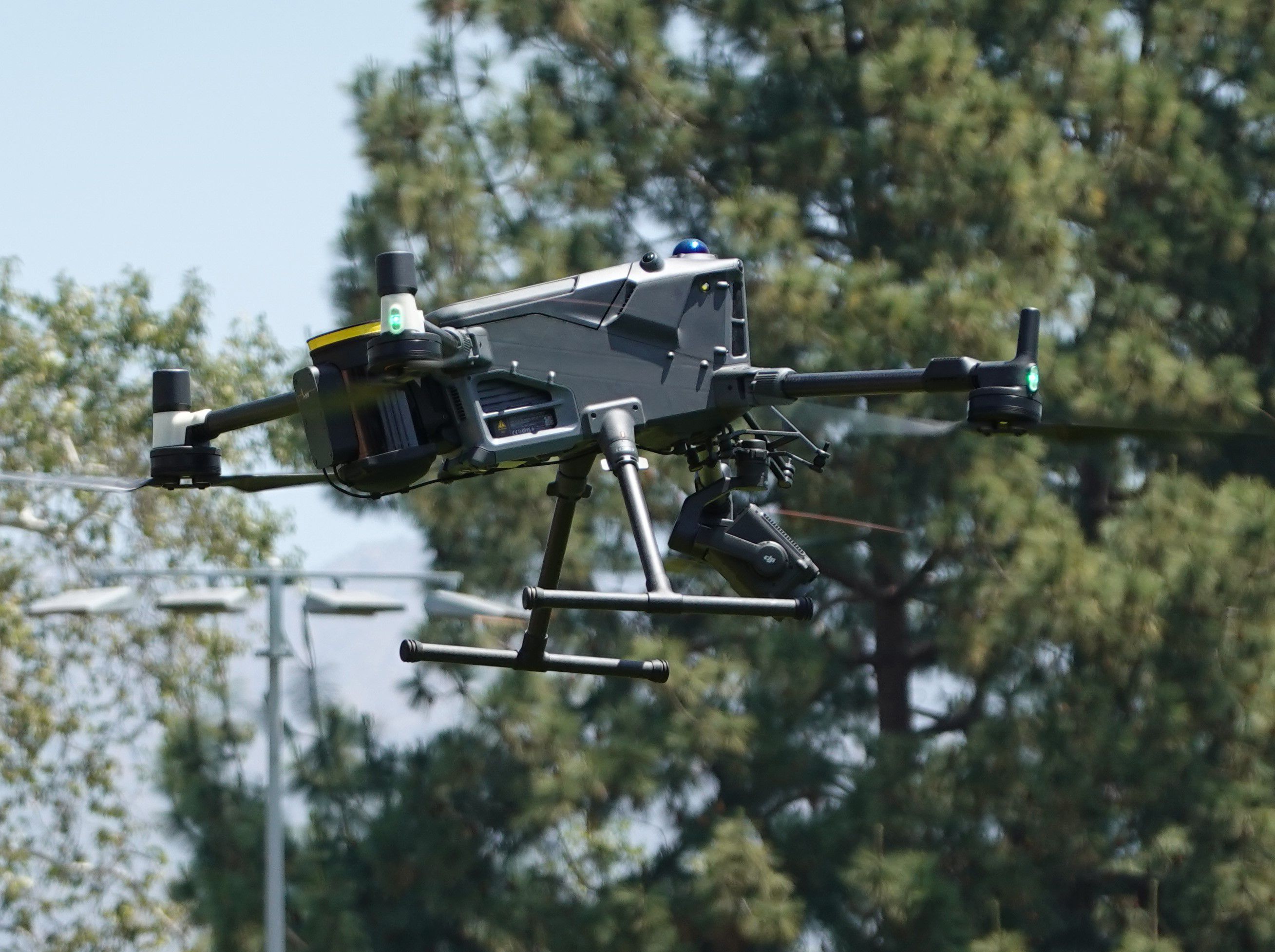
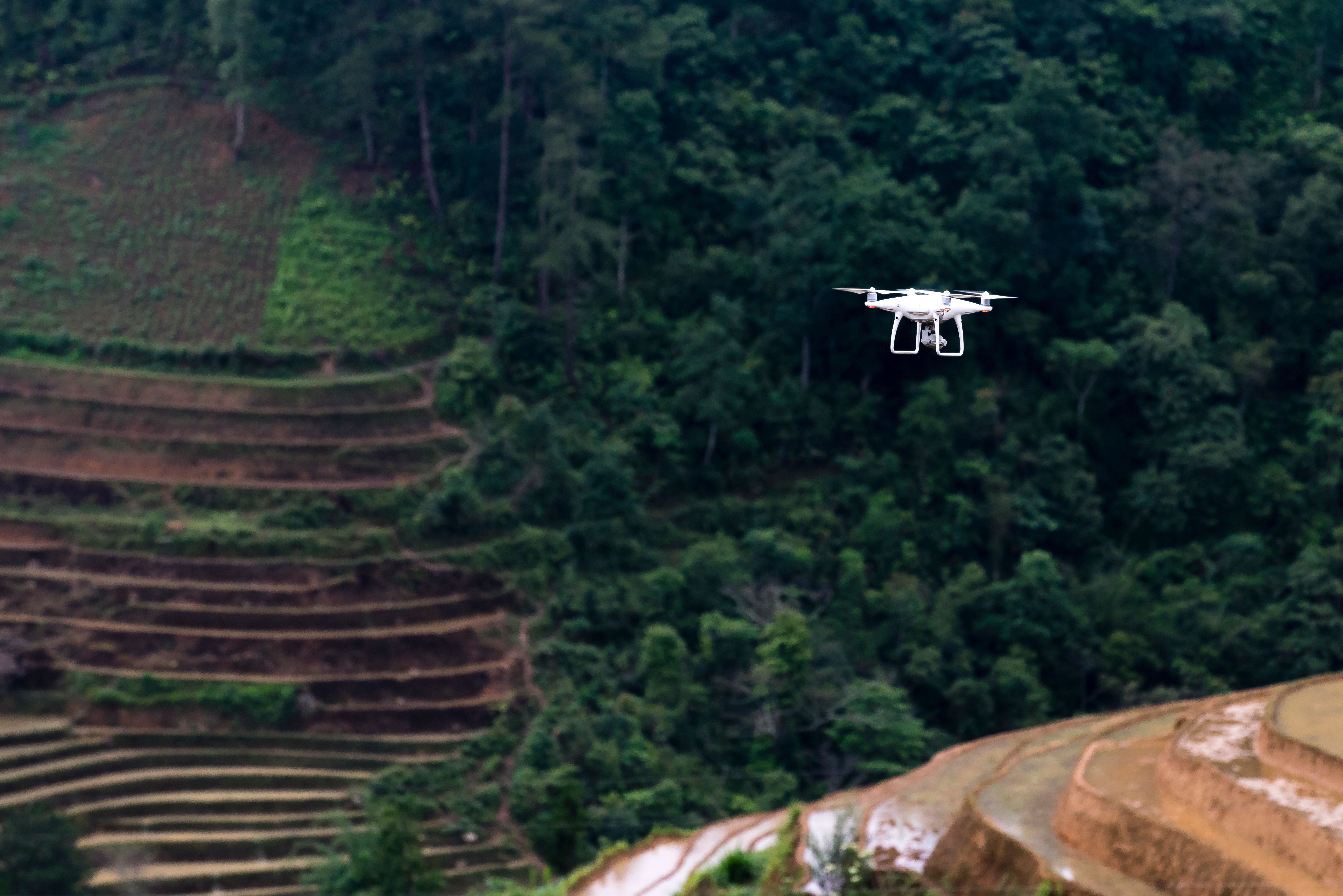
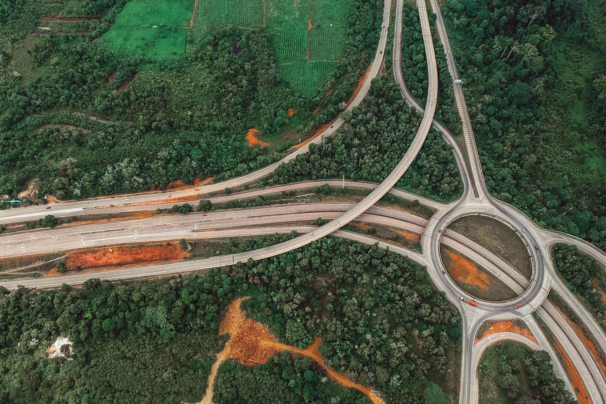
See through vegetation. Capture what cameras can't. Our airborne LiDAR reveals the true ground beneath dense canopy with unmatched precision.
The only technology that sees through vegetation to true ground
Optical cameras can only see what's visible from above. When dense vegetation, power lines, or complex infrastructure obscure the ground, traditional photogrammetry fails — leaving you with incomplete data and costly blind spots.
Velodrones' LiDAR (Light Detection and Ranging) technology changes everything. Our airborne laser scanners fire 500,000 pulses per second, penetrating gaps in foliage to capture the true bare-earth surface beneath. The result is a comprehensive 3D point cloud that reveals terrain, structures, and vegetation structure simultaneously — with 5cm vertical accuracy that meets the strictest engineering standards.
Penetrates dense canopy
Centimeter positioning
Ground/vegetation/building
Millions of data points
Capture accurate ground elevation beneath forests, jungles, and overgrown corridors for transmission line routing and forestry management.
Automated classification of conductors, towers, and vegetation encroachment with precise sag and clearance measurements.
High-density point clouds for corridor modeling, cross-section generation, and earthwork volume calculations along linear infrastructure.
Detailed building facades, street furniture, and infrastructure capture for smart city planning and digital twin creation.
Accurate terrain models under vegetation for hydrological modeling, flood risk assessment, and drainage design.
Precise stockpile measurements and pit volume calculations regardless of surface texture or lighting conditions.
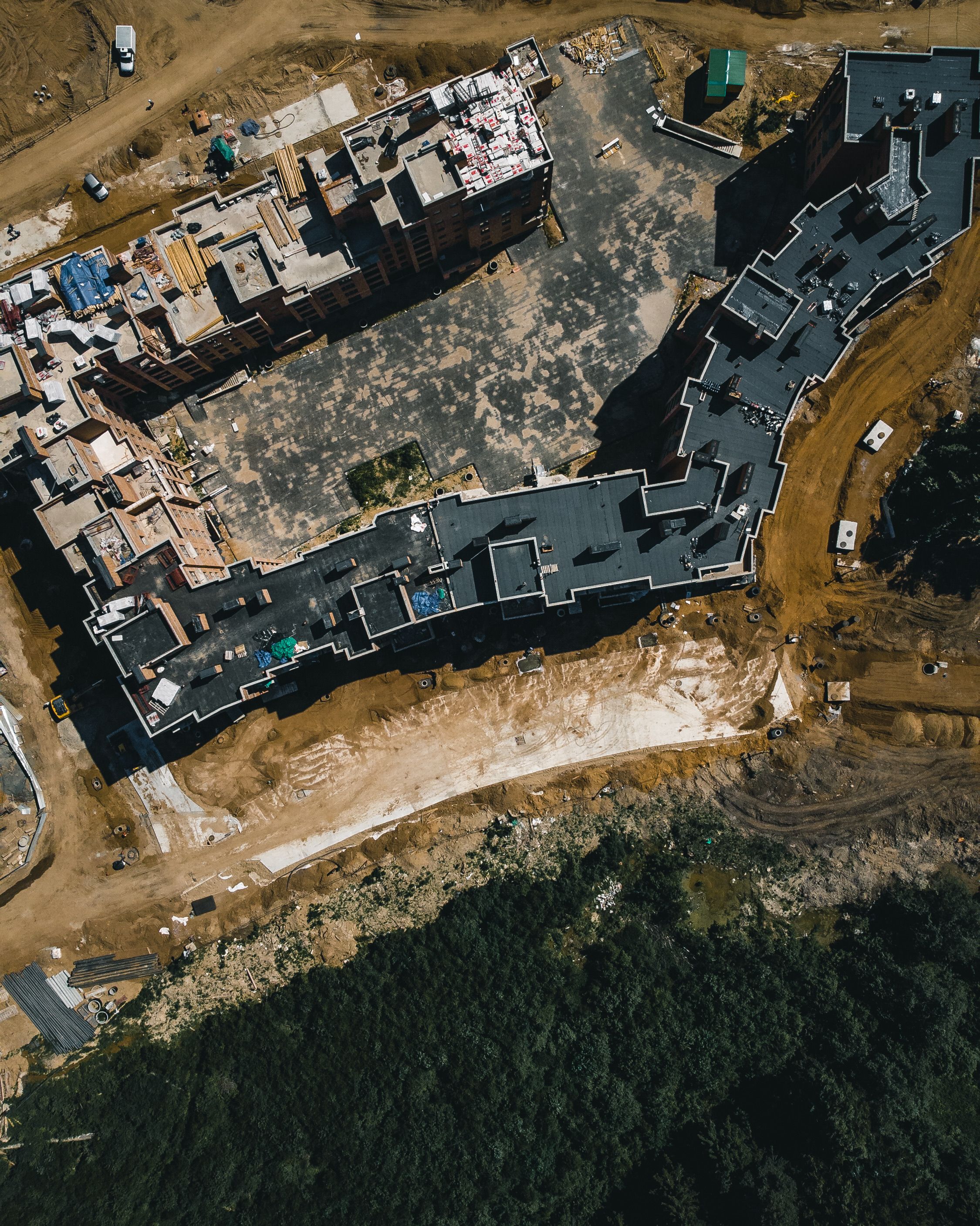
When accuracy under vegetation or in complex environments is critical, LiDAR is the only solution. Our airborne LiDAR surveys deliver 5cm vertical accuracy across challenging terrain that would be impossible to survey from the ground — saving you weeks of dangerous fieldwork and eliminating costly data gaps.
For utilities, transportation agencies, and engineering firms, this means safer designs, fewer surprises during construction, and significantly reduced project risk. One LiDAR survey prevents millions in change orders and delays.
Get through-the-canopy LiDAR data that photogrammetry can't provide. Stop guessing what's under the trees — start knowing.
Request LiDAR Survey View LiDAR Projects